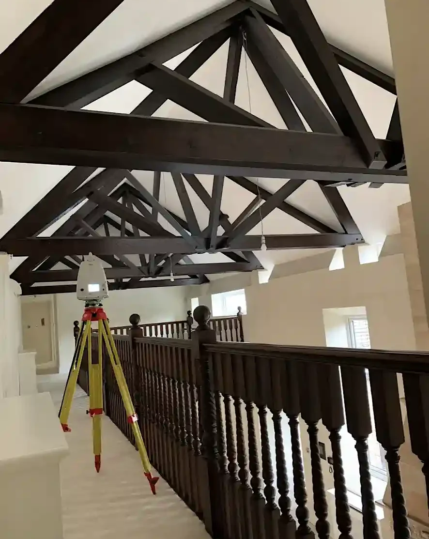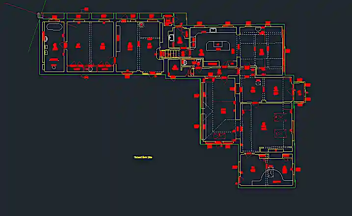
Using the latest technologies to capture buildings in all their detail. We provide floorplans, elevations and sections all to suit each individual project. The data can be provided in different formats to suit every need. All surveys will be collected and drawn to RICS standards.

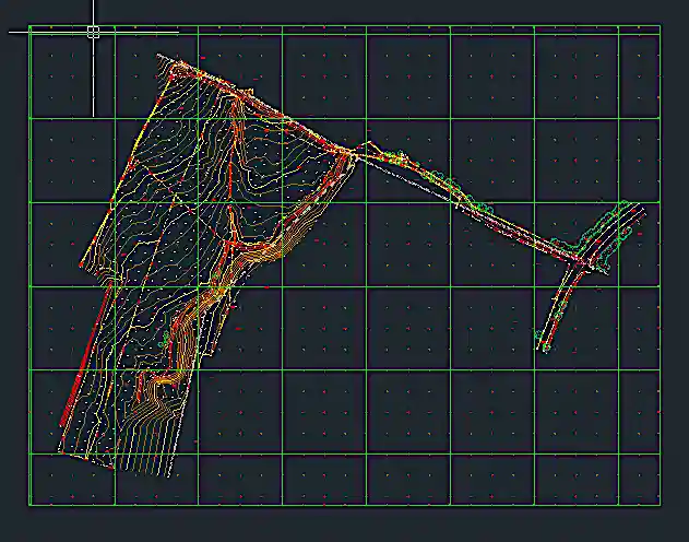
From small land surveys to big land surveys, whether its 2D or 3D. Using total stations, GNSS units or Lidar drone surveys, Oakland surveys expertise will provide everything you need from your survey. The data can be provided in different formats.

Drone surveys have really taken over the market in the past few years. With a fully qualified UAV pilot offering Lidar surveys, roof condition surveys or site photography we have access to cover a variety of needs.

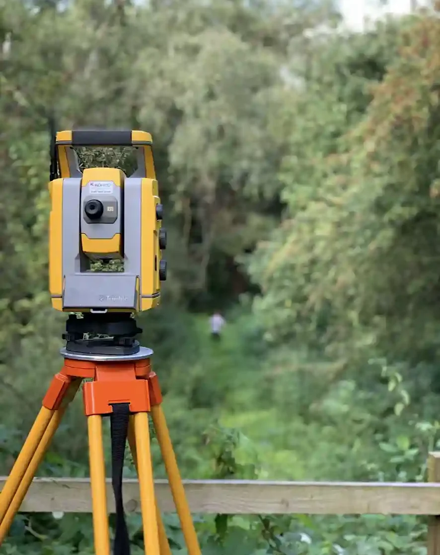
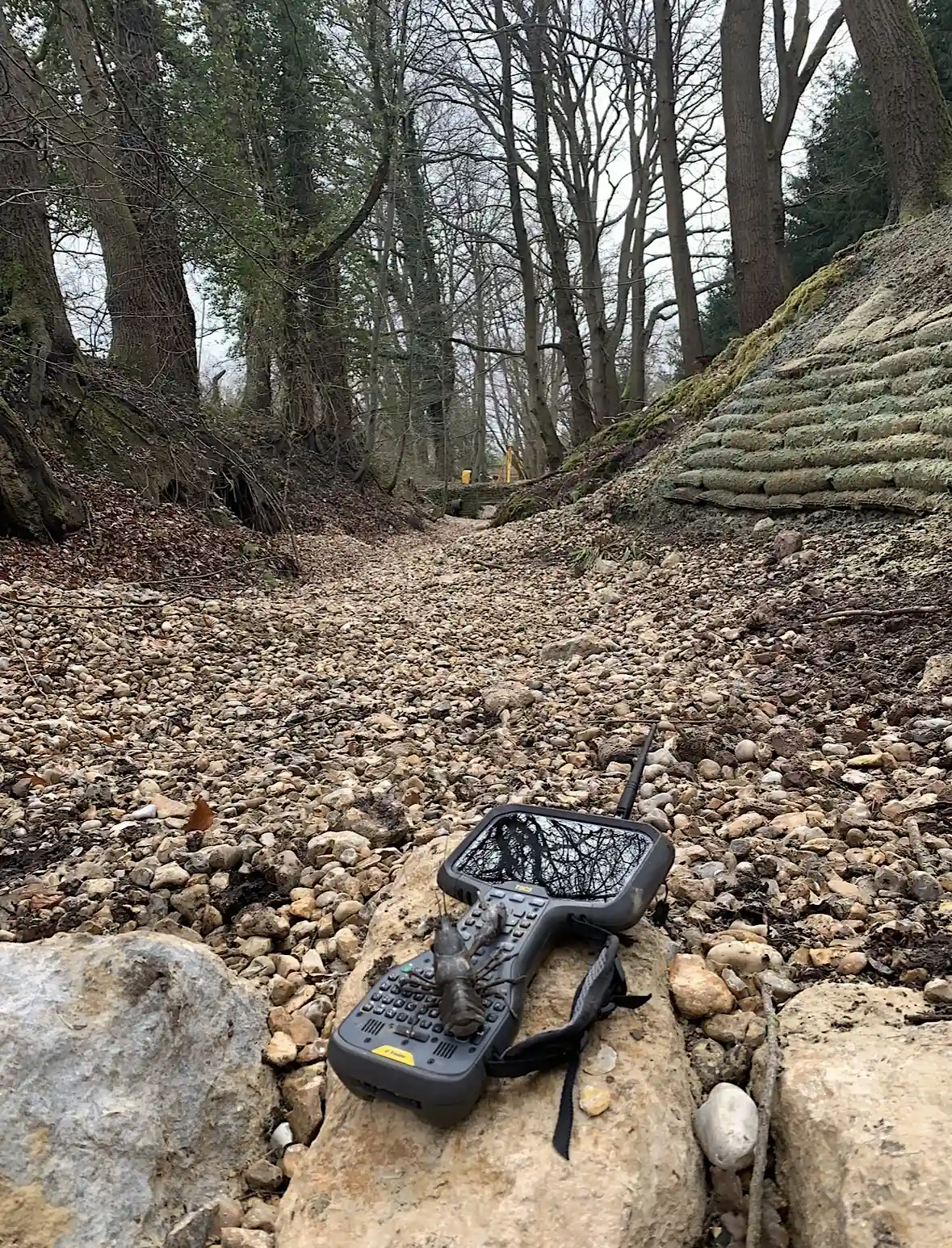
Using Trimble equipment we can assure you the highest accuracy. Years of experience on projects big and small we can help your site progress off of a drawing into reality. We specialise in all aspects of site engineering.
Utility mapping and CCTV, Arboricultural reports, Setting out, Roof condition surveys.